Cultural Resources

RECON offers a full line of cultural resources management services to assist clients from the project beginning to end including the planning, permitting, mitigation design, and construction phases. RECON has successfully completed all levels of prehistoric and historic resource identification, evaluation, and mitigation of impacts under CEQA and NEPA. We specialize in resourceful, efficient, and professional means of solving project-related issues.

We are highly familiar with the policies, procedures, and regulations of federal, state, and local resource agencies pertaining to cultural resources, including CEQA and NEPA, Section 106 of the National Historic Preservation Act, the Archaeological Resource Protection Act, the Native American Graves Protection and Repatriation Act, and Assembly Bill 52, as well as assisting clients with the Native American consultation process.

Cultural Resources Management Services

  • Permit Compliance

    • Mitigation Monitoring and Reporting Programs

    • Archaeological Construction Monitoring

    • Discovery Plans

    • Native American Consultation and Coordination

  • Evaluations

    • Test Excavations for Significance Determination

    • Data Recovery Excavations

    • Research Designs

    • Laboratory Analysis

  • Surveys and Mapping

    • Archival Research

    • Records Searches

    • Intensive Pedestrian Surveys

    • Stratified Sampling Surveys

    • GPS and GIS Technology for Site Recording

Credentials

Register of Professional Archaeologists

U.S. Bureau of Land Management Cultural Resource Use Permits

Secretary of the Interior Standards for Archaeology

Qualified Consultants List for Multiple Agencies

Featured Projects

  • Borrego Springs Country Club

    Borrego Springs, California

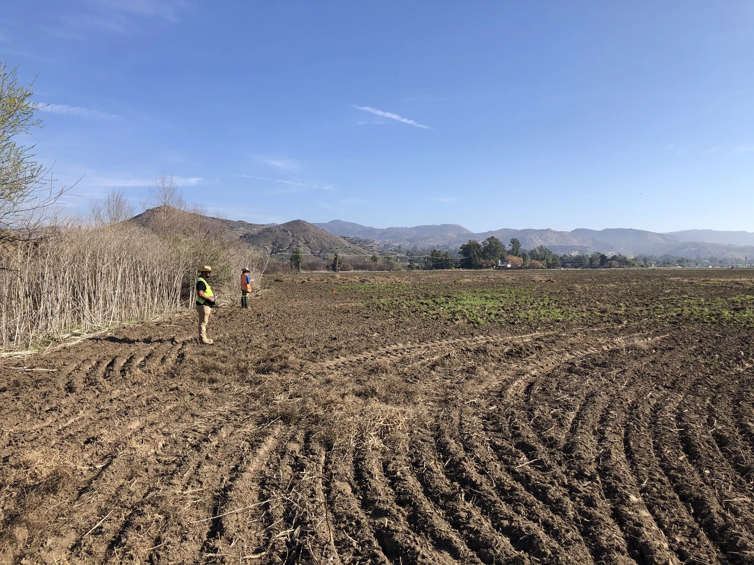
    RECON conducted record searches and site surveys to identify and map biological and cultural resources on the approximately 250-acre Borrego Springs Country Club project survey area. Work included coordination with the County of San Diego staff and a Native American monitor. Reports were prepared in accordance with County of San Diego formatting and content guidelines in support of the client’s goal of implementing restorative grading to portions of the Borrego Springs Country Club property to improve site drainage.

  • Archaeological Survey for County-Maintained Roads and Park-Maintained Road, Death Valley National Park

    Death Valley National Park, California

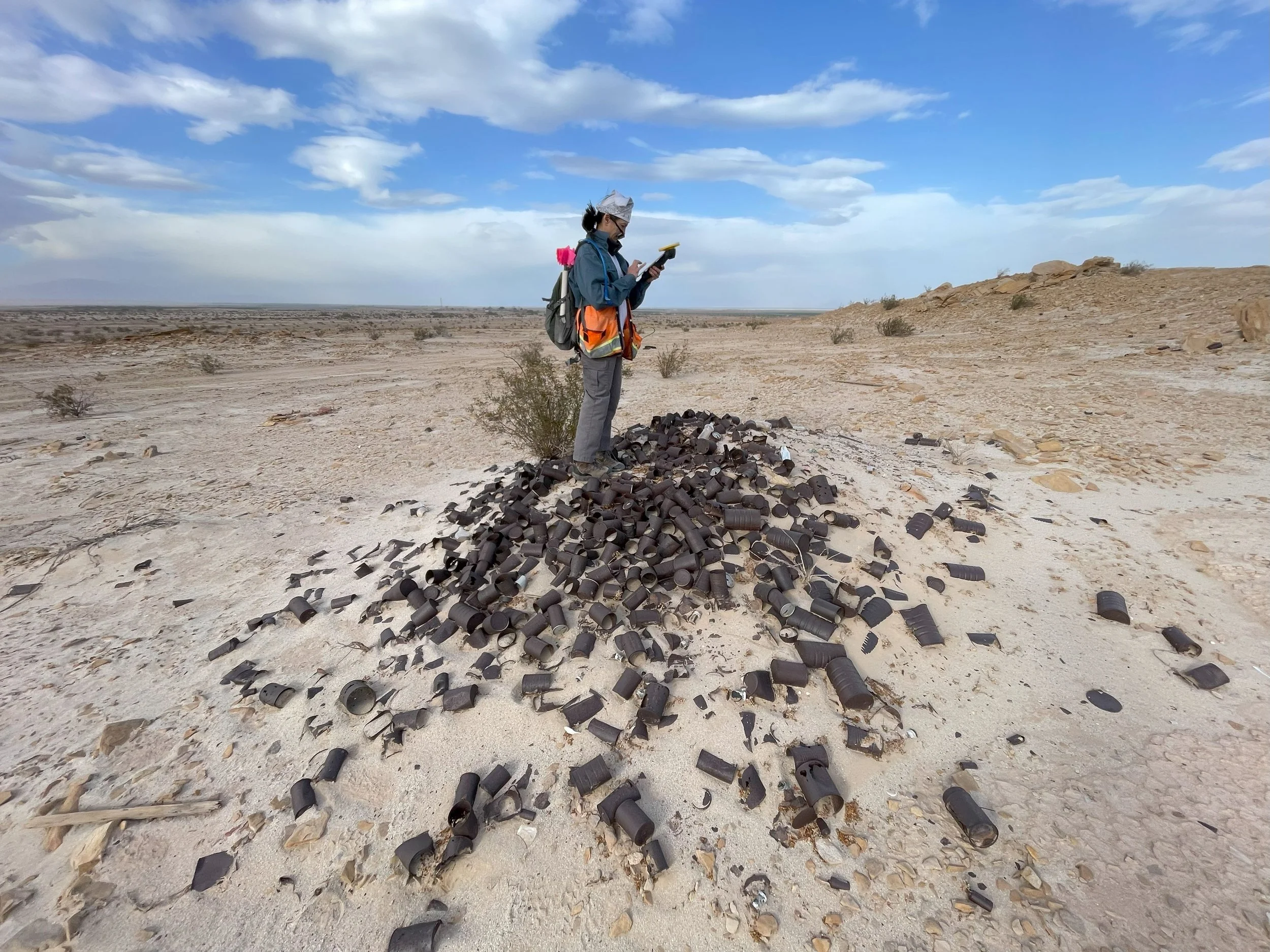
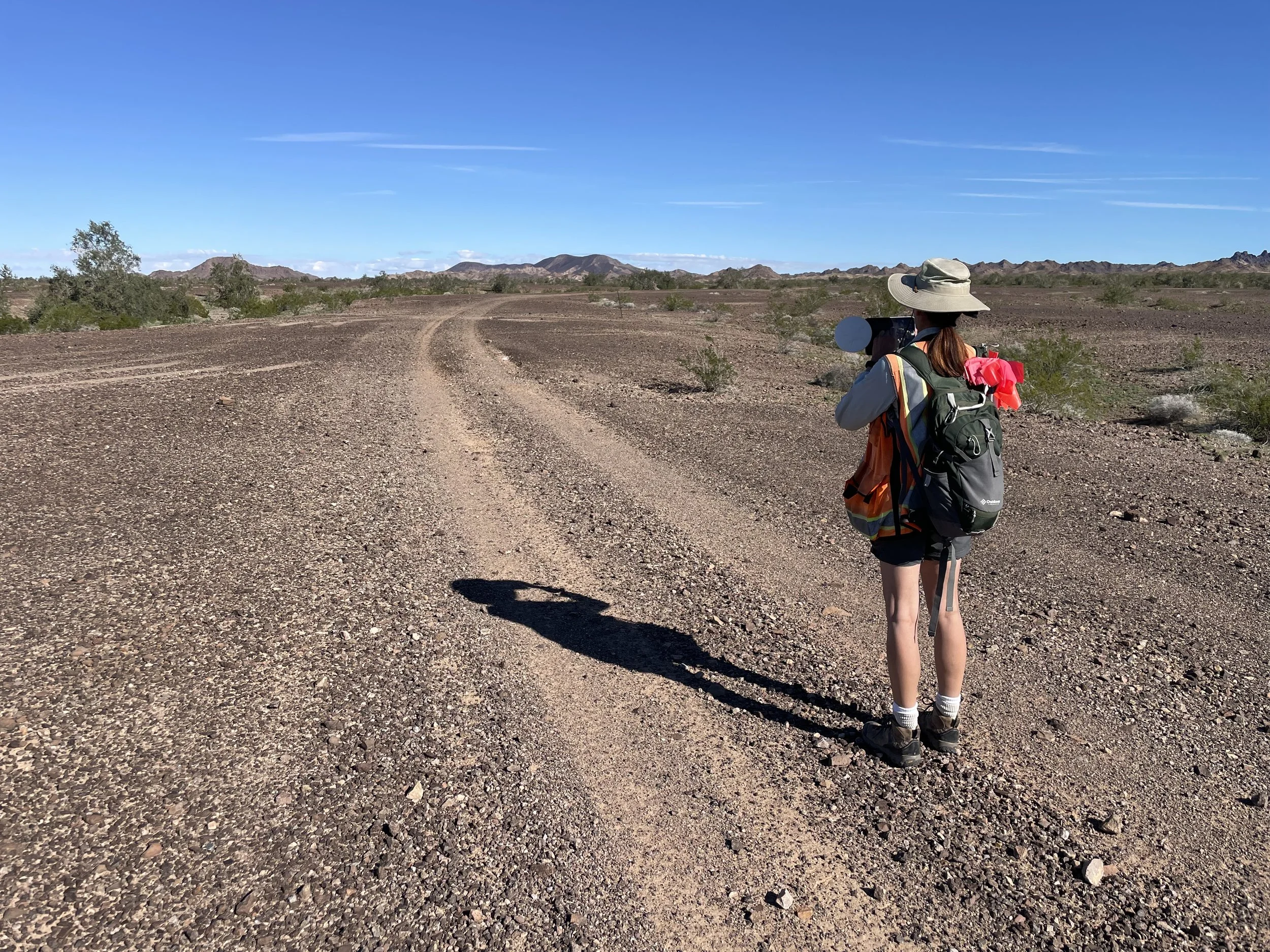
    RECON completed an intensive pedestrian archaeological survey of approximately 119 miles (approximately 3,623 acres) of improved road right-of-way (seven roads) in Death Valley National Park, including Big Pine Road, Saline Valley Road, Waucoba Road, Hunter Mountain Road, Padre Point Road, North Eureka Valley Road, and Trona-Wildrose Road. Work included pre-field research, library and archival research, field survey, and production of completed site forms and a summary survey report. A total of 76 sites and 32 isolated occurrences were identified within the survey area. Fifty-five of the total sites were newly identified, comprising 29 prehistoric, 24 historic-period resources, and a single resource of indeterminate period. Field work was conducted during the winter months of late 2018 and early 2019. Of the 76 sites, 35 sites were documented on California Department of Parks and Recreation site forms, including evaluations for listing on the National Register of Historic Places. The remote nature of the park and season of the survey necessitated highly coordinated survival tactics to achieve effective project completion and crew safety. This included technical off-road driving skills, remote camping in sub-freezing temperatures, and constant weather awareness for unexpected situational changes. The seven roads were documented in accordance with A Historical Context and Methodology for Evaluating Trails, Roads, and Highways in California (2016). Tasks involved completion of pre-field research, library and archival research, field survey, and completion of results report and site forms.

  • Cottonwood Development Plan Area, Joshua Tree

    Joshua Tree National Park, California

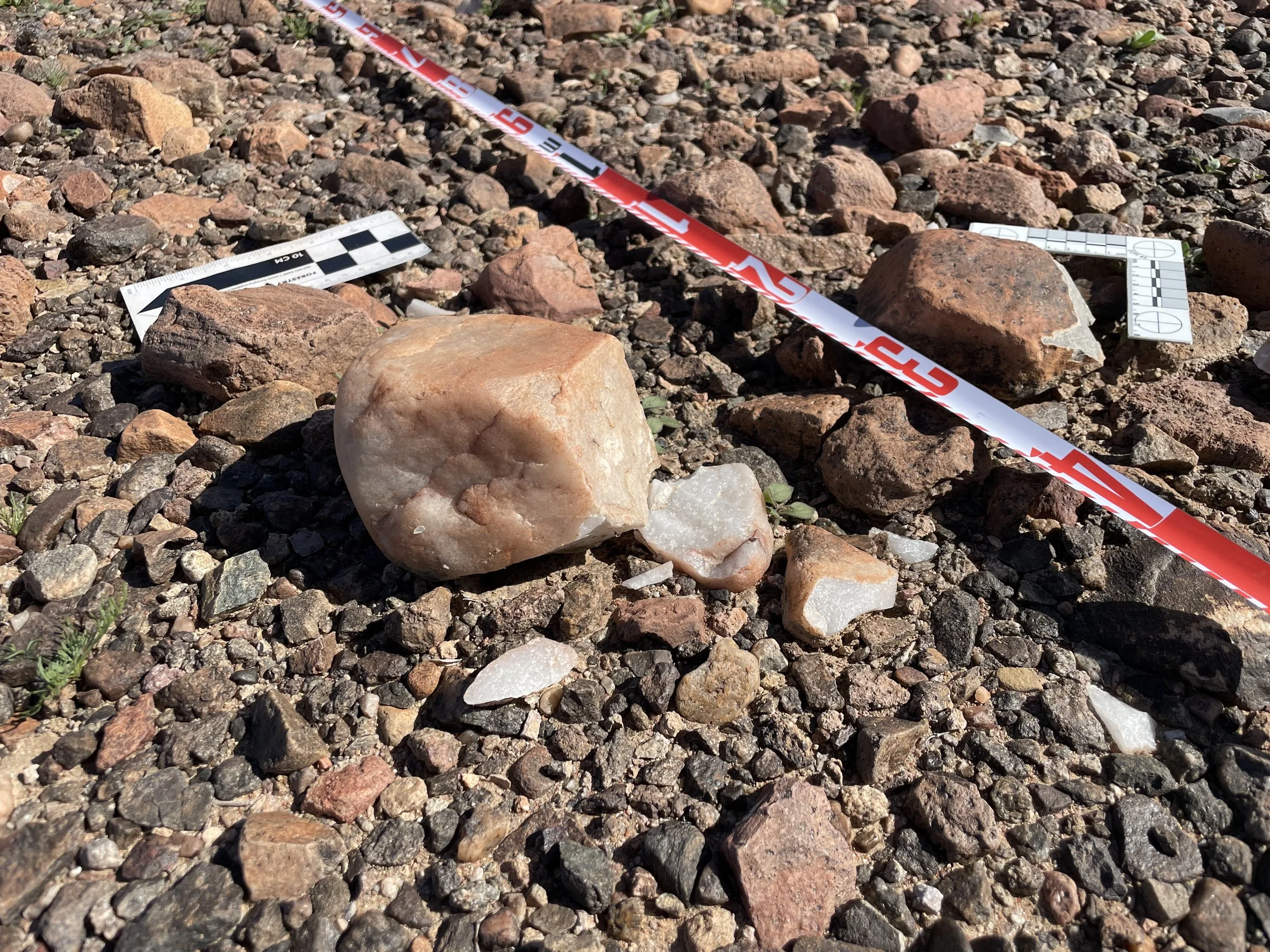
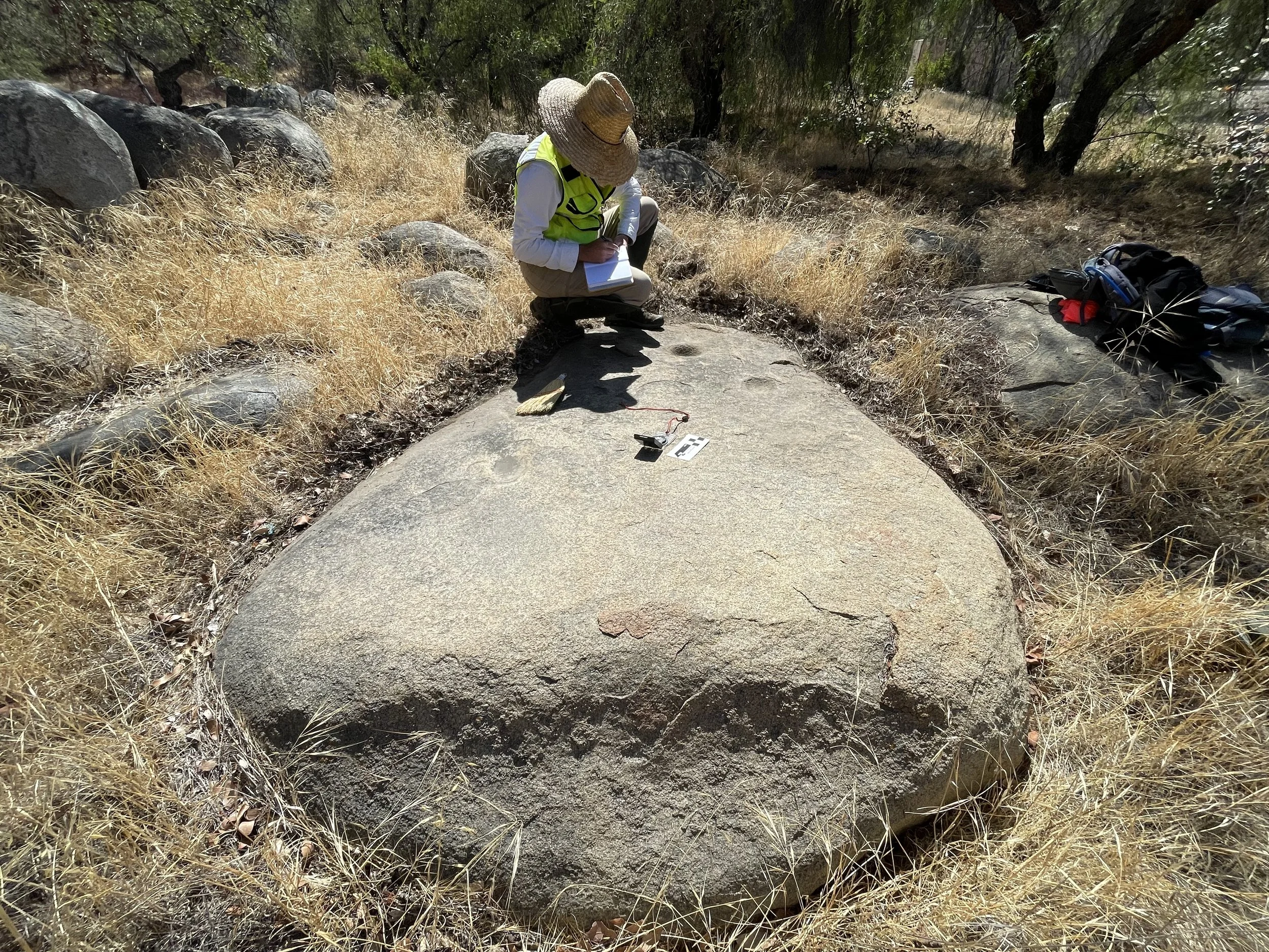
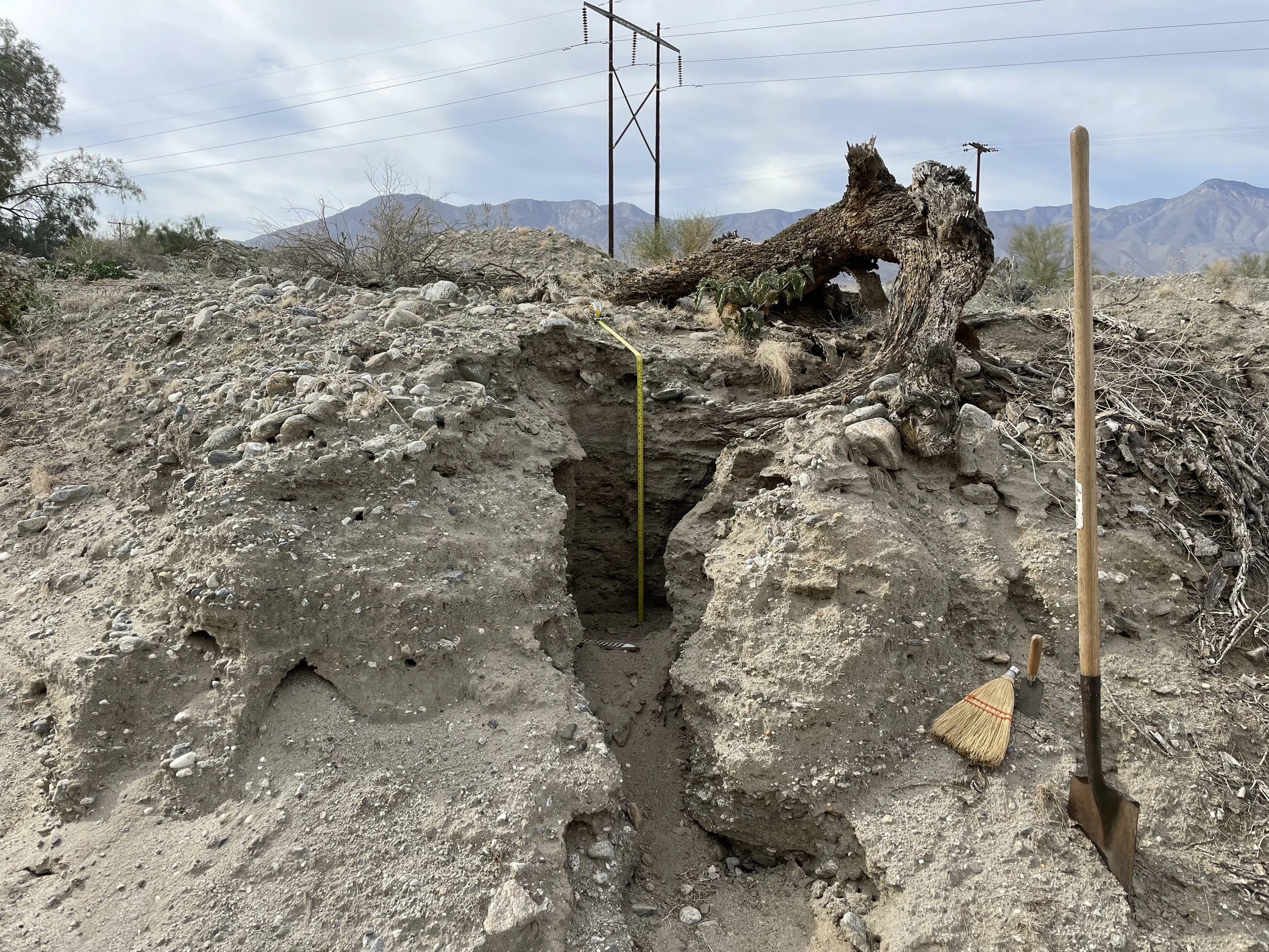
    RECON conducted survey, identification, documentation, and evaluation of historic properties pursuant to Section 106 of the National Historic Preservation Act (NHPA) at the Cottonwood developed area in Joshua Tree National Park. RECON surveyed 176 acres and identified four previously recorded and 19 newly recorded sites and 79 newly recorded isolated occurrences (artifacts). RECON implemented an excavation and evaluation program for two previously recorded sites that consisted of a series of surface scrapes, shovel test pits, and units. One site was recommended eligible for listing on the NHPA and the other was recommended not eligible. The evaluation program included protein residue, macrobotanical, and x-ray fluorescence geochemical source analyses. All services were produced within budget and on schedule. RECON worked with the National Park Service to identify changes in the scope of work due to an unforeseen number of cultural resources requiring contract modifications.

  • Group Job 809

    San Diego, California

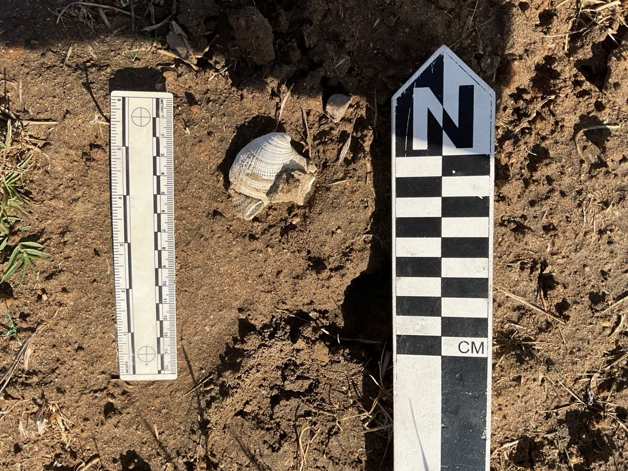
    Sewer and Water Group 809 focused in two areas, which impact portions of two prehistoric archaeological sites known as the La Jolla Shores site and Spindrift. An archaeological data recovery program (ADRP) was implemented for the mitigation, monitoring, and reporting program (MMRP) to mitigate impacts to CA-SDI-20,130 and CA-SDI-39. The goal of the program was to extract an adequate sample of data within the project impacts area to reduce the level of impacts to a less than significant level. Between December 2013 and November 2016, a number of units were hand-excavated at the main line receiving pits, lateral receiving pits for sewer lines, and service receiving pits for water lines and water hydrants. Three types of units were excavated: controlled units excavated in 10-centimeter levels, controlled units excavated in 20-centimeter levels, and bulk units excavated with no vertical control. Excavated soils were processed off-site at a wet-screening facility. Soils were wet-screened through 1/8-inch or 1/16-inch wire mesh to recover artifacts and ecofacts. The purpose of the bulk units was to reduce the impact to the Native American cultural value of the deposit and to salvage human remains and grave goods. The purpose of the controlled units was to extract an adequate sample of data within the project impacts area to reduce the level of archaeological impacts to a less than significant level.

  • Tijuana River Valley Campground

    San Diego, California

    RECON provided mitigation monitoring and maintenance services for the Tijuana River Valley Regional Park Campground and Nature Education Center Project, located within the Tijuana River Valley in southern San Diego County. RECON field crew installed fencing around the perimeter of the work area to mark and protect environmentally sensitive areas (ESAs). Additionally, RECON attended a pre-construction meeting to describe the need for and importance of mitigation monitoring and to establish the lines of communication on the job site so as to minimize construction delays while avoiding ESAs and documenting compliance with all applicable mitigation measures.

Contact

Carmen Zepeda-Herman, RPA
Archaeology Project Manager